


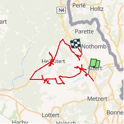

7,8 km | 10,8 km-effort


Gebruiker


Gratisgps-wandelapplicatie
 SityTrail
IGN / Geografische instituten
SityTrail World
De wereld gaat voor u open
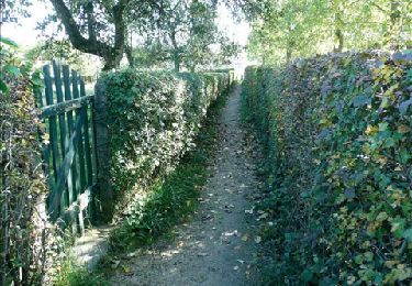
Tocht Paardrijden van 38 km beschikbaar op Wallonië, Luxemburg, Attert. Deze tocht wordt voorgesteld door gilfeller.
Stappen
Stappen

Andere activiteiten
Te voet
Te voet
Te voet
Mountainbike
Stappen
Stappen