


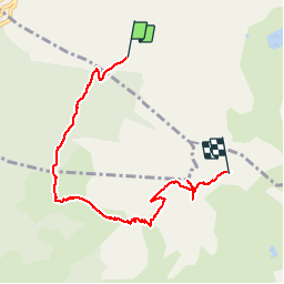

4,6 km | 6,2 km-effort

Gebruiker


Gratisgps-wandelapplicatie
 SityTrail
IGN / Geografische instituten
SityTrail World
De wereld gaat voor u open
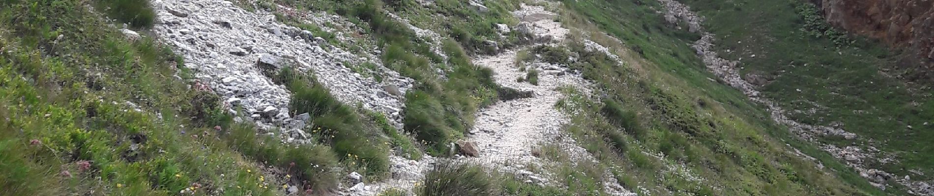
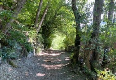
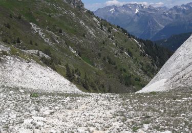
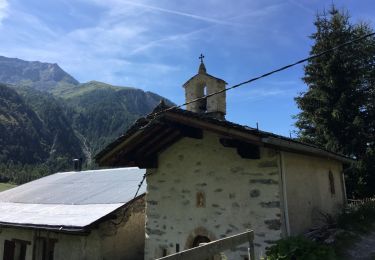
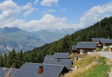
Tocht Stappen van 6,7 km beschikbaar op Auvergne-Rhône-Alpes, Savoie, Bourg-Saint-Maurice. Deze tocht wordt voorgesteld door BernardThiry.
départ à la station intermédiaire Transarc. Bergerie du Rey, col de l'entre-portes, aiguille Grive, retour par Transarc col de la Challe


Stappen

Te voet

Stappen
Stappen
Stappen
Sneeuwschoenen
Sneeuwschoenen

Stappen
Stappen