Trail Walking Bourg-Saint-Maurice - aiguille Grive - Photo
© OpenStreetMap contributors
Length
Length
6.7 km
Max alt
Max alt
2713 m
Uphill gradient
Uphill gradient
735 m
Km-Effort
Km-Effort  
15.1 km
Min alt
Min alt
2017 m
Downhill gradient
Downhill gradient
302 m
Boucle
Boucle
No
Creation date :
2019-07-10 07:48:34.77
Updated on :
2019-07-10 11:08:54.198

(0 Reviews)

Walking
Walking
2h40
Difficulty : Medium

Scan this QR Code to open this trail in the SityTrail application

FREE GPS app for hiking

Logo SityTrail SityTrail

IGN / Geographical institutes

Download SityTrail from the App Store Download SityTrail from Google Play

Logo SityTrail SityTrail World

The world is yours!

Download SityTrail from the App Store Download SityTrail from Google Play Download SityTrail on Huawei AppGallery

About

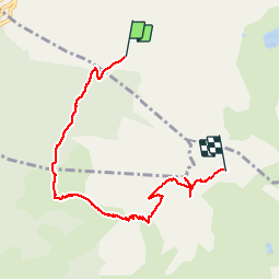
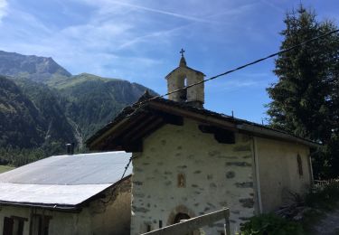
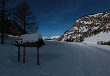
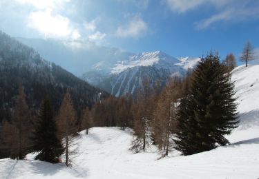
Trail Walking of 6.7 km to be discovered at Auvergne-Rhône-Alpes, Savoy, Bourg-Saint-Maurice. This trail is proposed by BernardThiry.

Description

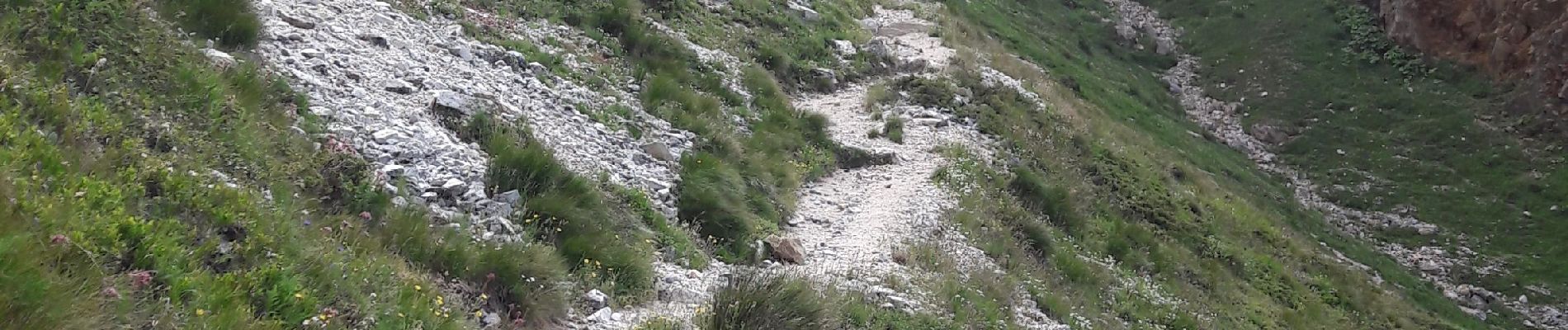
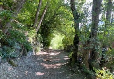
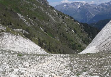
départ à la station intermédiaire Transarc. Bergerie du Rey, col de l'entre-portes, aiguille Grive, retour par Transarc col de la Challe

Elevation profile

Photos

Positioning

Country:
France
Region :
Auvergne-Rhône-Alpes
Department/Province :
Savoy
Municipality :
Bourg-Saint-Maurice
Location:
Unknown
Start:(UTM)
327901 ; 5047844 (32T) N.

Trails nearby

Trail Walking Landry - Landry... Circuit des Poussettes - Photo
Walking
Mimicrea

Walking

(1)
Landry, Auvergne-Rhône-Alpes, Savoy, France
4.6 km | 6.2 km-effort
2h 50min
No
Trail On foot Peisey-Nancroix - etape 2 - Photo
On foot
Billonmichel

On foot

Easy
(1)
Peisey-Nancroix, Auvergne-Rhône-Alpes, Savoy, France
9.6 km | 20 km-effort
4h 32min
No
Trail Walking Peisey-Nancroix - la chapelle - Photo
Walking
Grégory Letoquart

Walking

Very easy
(1)
Peisey-Nancroix, Auvergne-Rhône-Alpes, Savoy, France
4.8 km | 7.3 km-effort
1h 34min
Yes
Trail Walking Bourg-Saint-Maurice - arc 1950 col des frettes arc 1800 station internationale  - Photo
Walking
BernardThiry

Walking

Very easy
(1)
Bourg-Saint-Maurice, Auvergne-Rhône-Alpes, Savoy, France
6.2 km | 11.8 km-effort
2h 10min
No
Trail Walking Peisey-Nancroix - Balade du Sanctuaire ND des Vernettes - Photo
Walking
GUIDE
Desrumaux

Walking

Medium
(1)
Peisey-Nancroix, Auvergne-Rhône-Alpes, Savoy, France
11.7 km | 21 km-effort
4h 11min
Yes
Trail Snowshoes Peisey-Nancroix - Autour de Rosuel - Photo
Snowshoes
GUIDE
pascalou73

Snowshoes

Medium
Peisey-Nancroix, Auvergne-Rhône-Alpes, Savoy, France
6.1 km | 7.5 km-effort
2h 0min
Yes
Trail Snowshoes Peisey-Nancroix - Le sanctuaire des Vernettes - Photo
Snowshoes
GUIDE
pascalou73

Snowshoes

Easy
Peisey-Nancroix, Auvergne-Rhône-Alpes, Savoy, France
5.8 km | 8.4 km-effort
2h 0min
Yes
Trail Walking Peisey-Nancroix - Peisey Vallandry Les Rossets Col d'Entreporte  - Photo
Walking
GUIDE
lhomme.ph

Walking

Difficult
Peisey-Nancroix, Auvergne-Rhône-Alpes, Savoy, France
14.3 km | 26 km-effort
4h 51min
Yes
Trail Walking Peisey-Nancroix - Peisey Vallandry Les Charmettes Le Villaret - Photo
Walking
GUIDE
lhomme.ph

Walking

Medium
Peisey-Nancroix, Auvergne-Rhône-Alpes, Savoy, France
6.3 km | 8.6 km-effort
1h 47min
No


Close
My subscriptions