


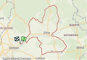


29 km | 35 km-effort

Gebruiker


Gratisgps-wandelapplicatie
 SityTrail
IGN / Geografische instituten
SityTrail World
De wereld gaat voor u open
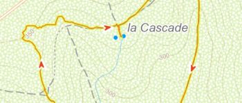
Tocht Mountainbike van 21 km beschikbaar op Wallonië, Luxemburg, Virton. Deze tocht wordt voorgesteld door Pascal L.
Balade_VTT_22kms


Stappen

Stappen

Te voet

Te voet

Stappen

Stappen


Mountainbike

Mountainbike
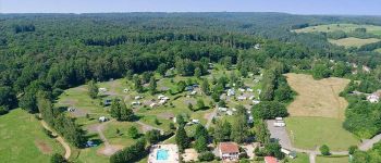
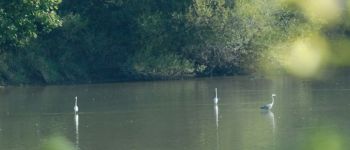
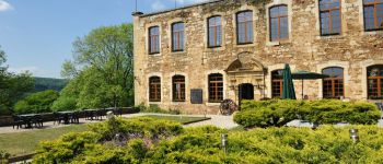
Merci pour cette belle randonnée !