


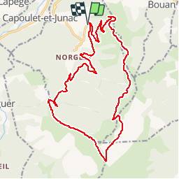

13,8 km | 21 km-effort


Gebruiker


Gratisgps-wandelapplicatie
 SityTrail
IGN / Geografische instituten
SityTrail World
De wereld gaat voor u open
Tocht Mountainbike van 22 km beschikbaar op Occitanië, Ariège, Miglos. Deze tocht wordt voorgesteld door tracegps.
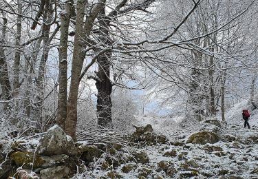
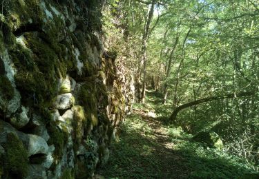
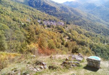
Très belle proposition de Jean-Michel C, comme je les aime: montées en pistes douces, descentes en sentiers de crête ou en forêt. Les sentiers forestiers sont bien entretenus et charmants. Grand panorama. 100 m de poussage sous le sommet, descente de la crête de la Sède avec quelques passages à pied, sentier à chercher dans une prairie au col de Gamel.


Elektrische fiets
Elektrische fiets
Te voet
Stappen
Stappen
Stappen

Stappen
Stappen