7 km | 9,7 km-effort
malevielle
pipette12
Gebruiker
Lengte
14,8 km
Max. hoogte
433 m
Positief hoogteverschil
407 m
Km-Effort
20 km
Min. hoogte
167 m
Negatief hoogteverschil
408 m
Boucle
Ja
Datum van aanmaak :
2014-12-10 00:00:00.0
Laatste wijziging :
2014-12-10 00:00:00.0
4h19
Moeilijkheid : Heel gemakkelijk
Gratisgps-wandelapplicatie
Over ons
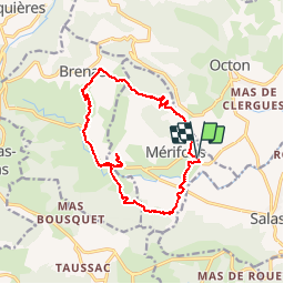
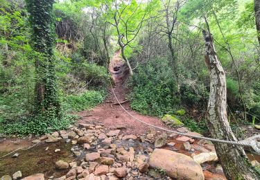
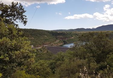
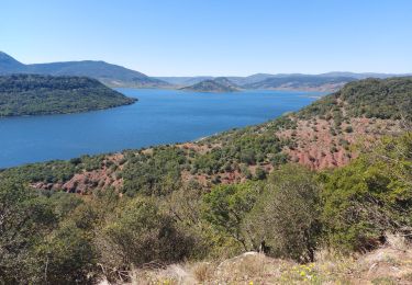
Tocht Stappen van 14,8 km beschikbaar op Occitanië, Hérault, Mérifons. Deze tocht wordt voorgesteld door pipette12.
Beschrijving
verson longue
Plaatsbepaling
Land:
France
Regio :
Occitanië
Departement/Provincie :
Hérault
Gemeente :
Mérifons
Locatie:
Unknown
Vertrek:(Dec)
Vertrek:(UTM)
523612 ; 4831196 (31T) N.
Opmerkingen
Wandeltochten in de omgeving
Malavieille - Montagne de la Boutine
Noords wandelen
Gemakkelijk
(1)
Mérifons,
Occitanië,
Hérault,
France
Onbekend
Ja
Chemin Vicinal N°13 de Carlencas
Stappen
Medium
(2)
Mérifons,
Occitanië,
Hérault,
France
8,5 km | 12 km-effort
2h 30min
Ja
PEZENES les mines / FOS
Stappen
Gemakkelijk
(1)
Pézènes-les-Mines,
Occitanië,
Hérault,
France
14,5 km | 19,2 km-effort
3h 45min
Ja
Le Lac du Salagou
Stappen
Gemakkelijk
(1)
Le Puech,
Occitanië,
Hérault,
France
10,1 km | 12,8 km-effort
4h 1min
Ja
Octon 2017
Mountainbike
Moeilijk
(1)
Octon,
Occitanië,
Hérault,
France
37 km | 48 km-effort
3h 4min
Ja
Les Vailhés - Lac du Salagou - Plateau de l'Auverne 15 km
Noords wandelen
Medium
Celles,
Occitanië,
Hérault,
France
14,9 km | 19,5 km-effort
3h 50min
Ja
autour du salagou
Stappen
Gemakkelijk
Celles,
Occitanië,
Hérault,
France
18,6 km | 24 km-effort
6h 1min
Ja
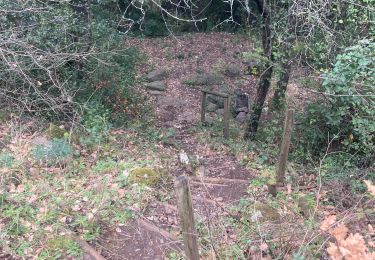
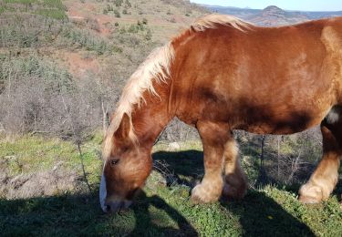
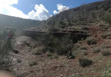
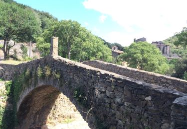
Circuit très agréable à ne pas faire en été!