


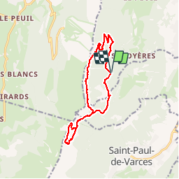

8 km | 13,4 km-effort

Gebruiker


Gratisgps-wandelapplicatie
 SityTrail
IGN / Geografische instituten
SityTrail World
De wereld gaat voor u open
Tocht Stappen van 14,5 km beschikbaar op Auvergne-Rhône-Alpes, Isère, Claix. Deze tocht wordt voorgesteld door nadd73.
De St Imbert se garer à la pissarde. 1100m
Topos de Pascal sombardier
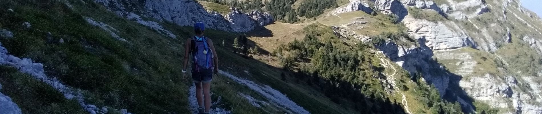
Passage pas vraiment marqués. pas d'escalade délicate et exposé après la grotte des Pouliches, ne pas emmener des personnes inexpérimentées.
La sente sur le balcon demande un pied sûr.


Sneeuwschoenen

Stappen
Stappen
Stappen

Stappen

Sneeuwschoenen

Stappen

Stappen

Stappen