


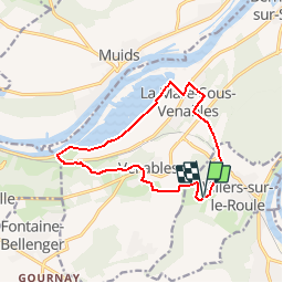


10,9 km | 13,1 km-effort

Gebruiker


Gratisgps-wandelapplicatie
 SityTrail
IGN / Geografische instituten
SityTrail World
De wereld gaat voor u open
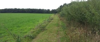
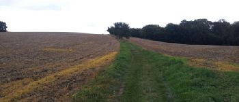
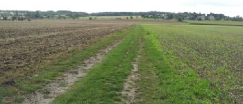
Tocht Stappen van 11,9 km beschikbaar op Normandië, Eure, Villers-sur-le-Roule. Deze tocht wordt voorgesteld door douneto.
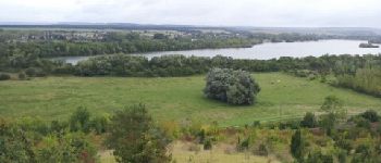
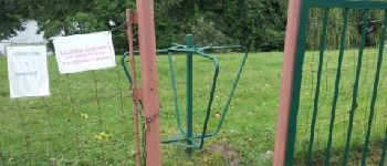
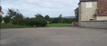
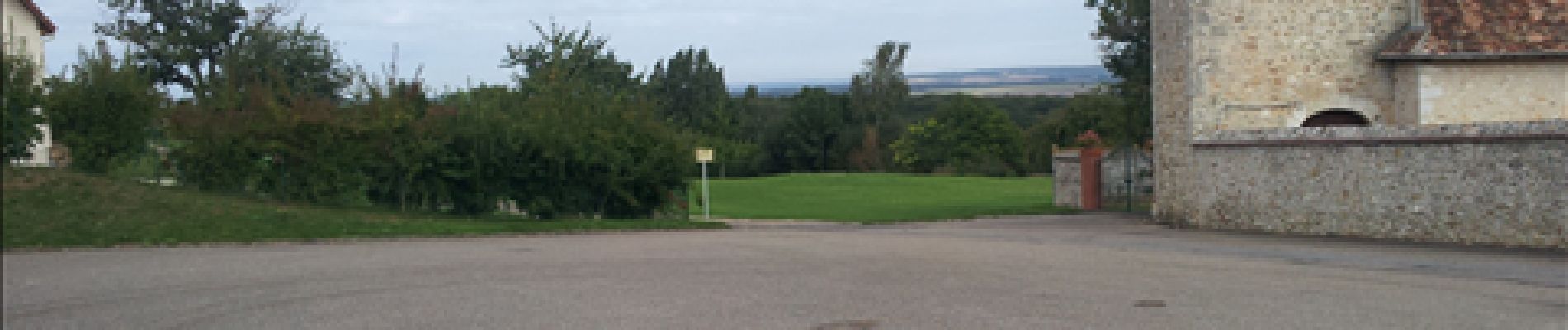
Départ du parking Le Montier
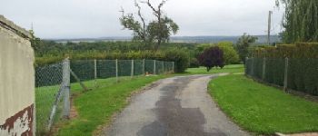
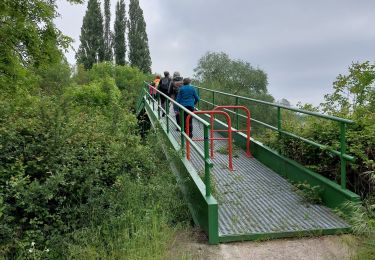
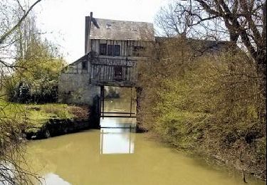
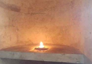
Aire pour manger avec vue


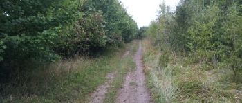
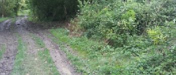
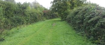
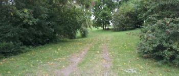
Stappen

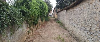
Stappen

Stappen


Stappen
Stappen
Stappen

Stappen
