


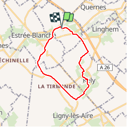

11,1 km | 12,4 km-effort


Gebruiker


Gratisgps-wandelapplicatie
 SityTrail
IGN / Geografische instituten
SityTrail World
De wereld gaat voor u open
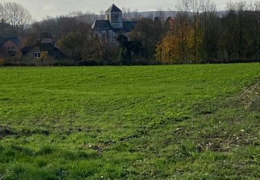
Tocht Stappen van 10,3 km beschikbaar op Hauts-de-France, Pas-de-Calais, Liettres. Deze tocht wordt voorgesteld door ulsan.
Stappen
Stappen
Stappen
Andere activiteiten
Stappen
Stappen
Stappen
Stappen
Stappen