


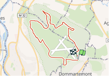

4,8 km | 6 km-effort


Gebruiker


Gratisgps-wandelapplicatie
 SityTrail
IGN / Geografische instituten
SityTrail World
De wereld gaat voor u open
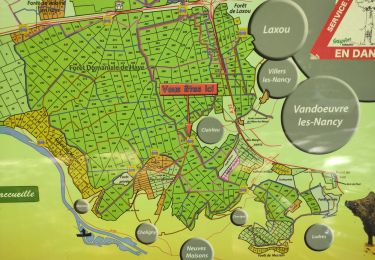
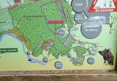
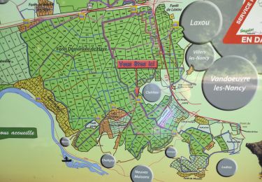
Tocht Noords wandelen van 9,3 km beschikbaar op Grand Est, Meurthe-et-Moselle, Dommartemont. Deze tocht wordt voorgesteld door DanielROLLET.
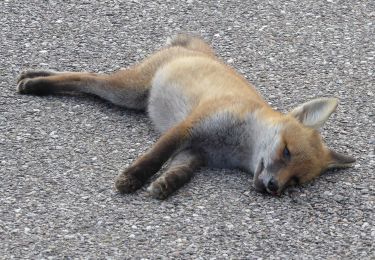
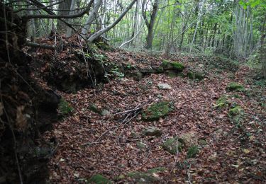
2019 12 05 Marche nordique Trés beau temps froid (givre)

Lopen

Te voet
Te voet
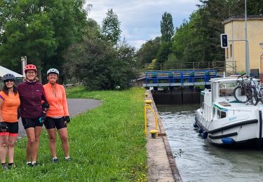
Fietstoerisme
Stappen
Stappen
Stappen
Te voet
Te voet