


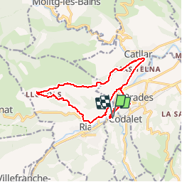

13,5 km | 17,2 km-effort


Gebruiker


Gratisgps-wandelapplicatie
 SityTrail
IGN / Geografische instituten
SityTrail World
De wereld gaat voor u open
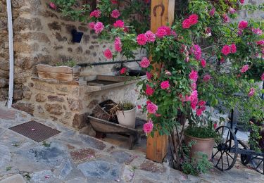
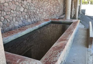
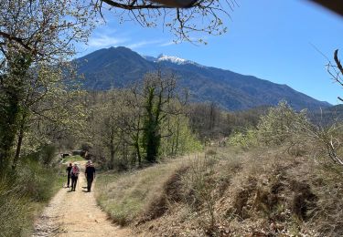
Tocht Stappen van 16,1 km beschikbaar op Occitanië, Pyrénées-Orientales, Codalet. Deze tocht wordt voorgesteld door zazie.

Stappen

Motor

Mountainbike
Stappen
Stappen
Stappen
Stappen
Stappen
Stappen
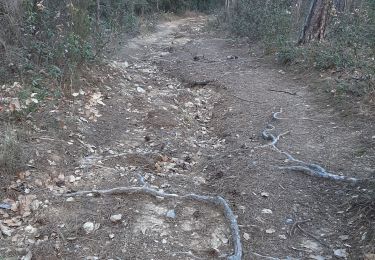
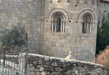
excellente decouverte de la plaine de Prades chapelle de St Christophe au pied de Llugols avec une descente rapide sur Ria et ses charmantes habitations. - Excellente decouverte de la plaine de Prades. Chapelle de St Christophe aux pieds de Llugols. Rapide descente sur Ria et ses charmantes habitations.