


7 km | 8,8 km-effort


Gebruiker


Gratisgps-wandelapplicatie
 SityTrail
IGN / Geografische instituten
SityTrail World
De wereld gaat voor u open
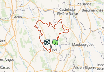
Tocht Fietstoerisme van 64 km beschikbaar op Nieuw-Aquitanië, Pyrénées-Atlantiques, Lembeye. Deze tocht wordt voorgesteld door potofe.
01/02/2018
15/12/2019
Inspiré de Château et vignoble de Madiran, en évitant les routes principales.
Peut être démarré du Moulin de Bellegarde (Lespielle) pour éviter de terminer par la montée à Lembeye
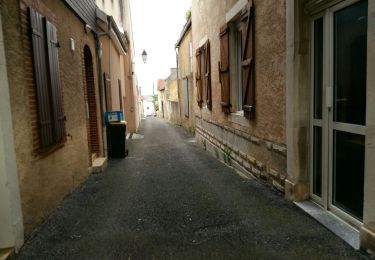
Stappen
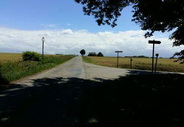
Stappen
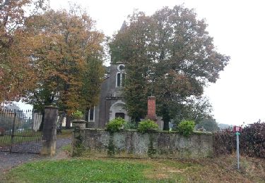
Stappen
Stappen
Stappen
Stappen
Stappen

Te voet

Stappen