


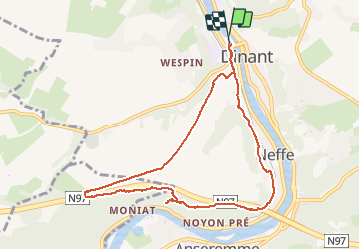


19,3 km | 26 km-effort

Gebruiker GUIDE


Gratisgps-wandelapplicatie
 SityTrail
IGN / Geografische instituten
SityTrail World
De wereld gaat voor u open
Tocht Stappen van 8,4 km beschikbaar op Wallonië, Namen, Dinant. Deze tocht wordt voorgesteld door Desrumaux.
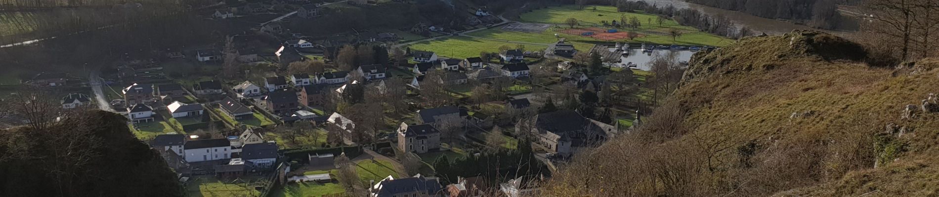
La balade prend son départ devant l'office du tourisme de Dinant avenue Colonel Cadoux.Situés en rive gauche de la Meuse, les rochers de Moniat dominent la vallée à hauteur du village d'Anseremme et sont inclus dans la réserve naturelle du même nom.
Balisage: rectangle bleu.


Stappen

Stappen

Stappen

Stappen

Stappen

Stappen
Stappen

Stappen

Stappen