


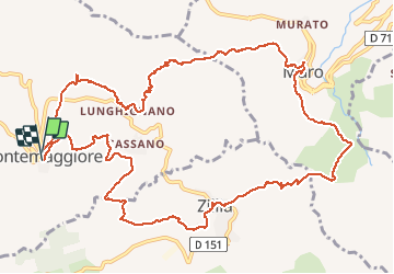

9,9 km | 25 km-effort

Gebruiker


Gratisgps-wandelapplicatie
 SityTrail
IGN / Geografische instituten
SityTrail World
De wereld gaat voor u open
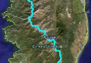
Tocht Stappen van 15,5 km beschikbaar op Corsica, Haute-Corse, Montegrosso. Deze tocht wordt voorgesteld door olivecoco.
Belle boucle entre 2 bassins de vie : Calenzana et Reginu


Stappen
Stappen
Stappen

Stappen
Stappen
Stappen
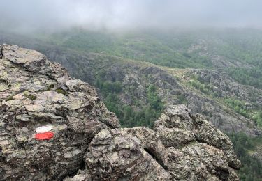
Stappen
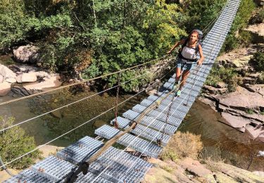
Stappen
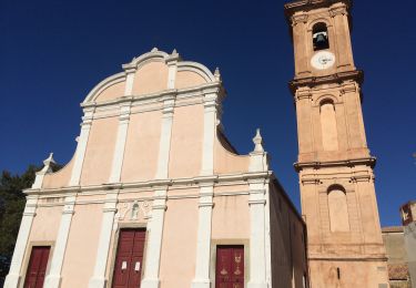
Stappen