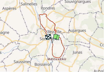

14 km | 16,9 km-effort


Gebruiker


Gratisgps-wandelapplicatie
 SityTrail
IGN / Geografische instituten
SityTrail World
De wereld gaat voor u open
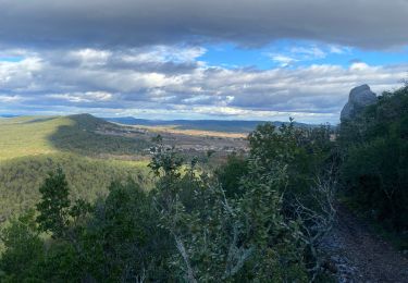
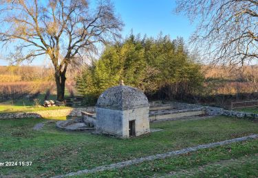
Tocht Stappen van 13,1 km beschikbaar op Occitanië, Gard, Sommières. Deze tocht wordt voorgesteld door ARVIEU.


Stappen

Stappen

Stappen
Stappen
Stappen
Stappen
Stappen