


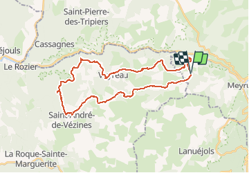


58 km | 74 km-effort


Gebruiker


Gratisgps-wandelapplicatie
 SityTrail
IGN / Geografische instituten
SityTrail World
De wereld gaat voor u open
Tocht Mountainbike van 36 km beschikbaar op Occitanië, Lozère, Meyrueis. Deze tocht wordt voorgesteld door richard.roure.
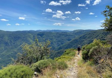
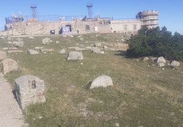
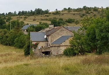
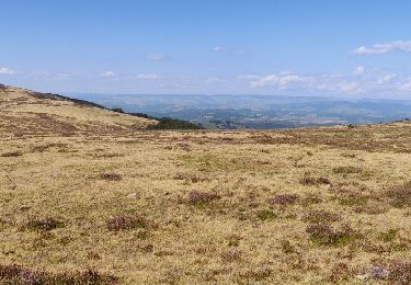
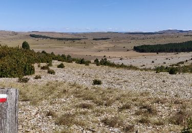
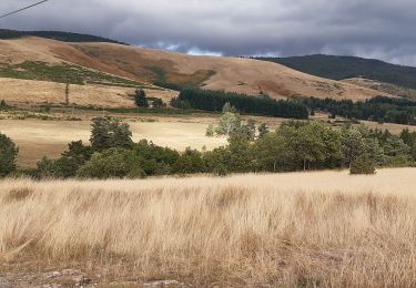
dargilan st jean de balmes
Wegfiets
Stappen
Te voet
Stappen
Stappen
Stappen
Stappen
Stappen
Stappen