


21 km | 27 km-effort


Gebruiker


Gratisgps-wandelapplicatie
 SityTrail
IGN / Geografische instituten
SityTrail World
De wereld gaat voor u open
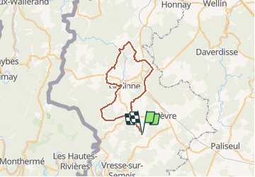
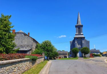
Tocht Mountainbike van 45 km beschikbaar op Wallonië, Namen, Bièvre. Deze tocht wordt voorgesteld door josvc.
yellow mtb gedinne
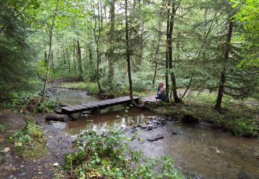
Stappen

Stappen
Stappen
Stappen
Stappen
Te voet
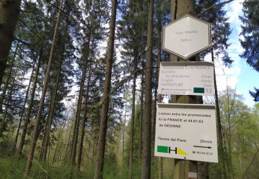
Te voet
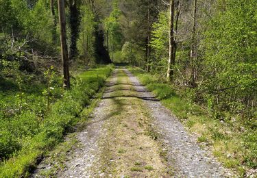
Te voet

Te voet