


15,3 km | 17,6 km-effort


Gebruiker


Gratisgps-wandelapplicatie
 SityTrail
IGN / Geografische instituten
SityTrail World
De wereld gaat voor u open
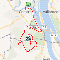
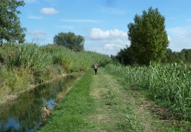
Tocht Stappen van 9,5 km beschikbaar op Occitanië, Gard, Comps. Deze tocht wordt voorgesteld door dansmabulle.
COMPS - ABBAYE DE SAINT ROMAIN 2
9.5Km - 03:00
Départ randonnée : Village de Comps (Gard 30) De comps 30 à l'abbaye de Saint Romain en passant par la table d'orientation.J'ai parcouru ce circuit avec mes amis d'ovs montpellierAttention : Circuit sous forme d'un aller simple.Bonne randonnée
Stappen
Stappen

Stappen
Stappen

Stappen
Hybride fiets

Stappen
Mountainbike

Stappen
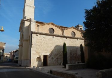
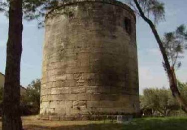
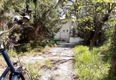
Très joli circuit