


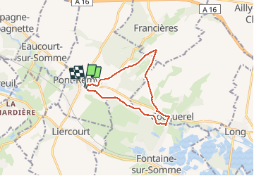

5,8 km | 7,3 km-effort

Gebruiker


Gratisgps-wandelapplicatie
 SityTrail
IGN / Geografische instituten
SityTrail World
De wereld gaat voor u open
Tocht Stappen van 9,8 km beschikbaar op Hauts-de-France, Somme, Pont-Remy. Deze tocht wordt voorgesteld door Luc Gengoux.
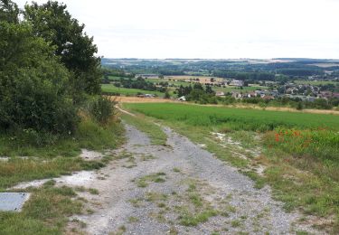
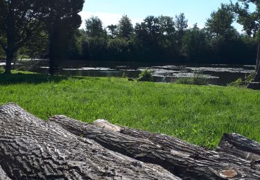
La randonnée commence le long de la somme avant de nous emmener dans les hauteurs. Le moment de vues imprenables sur la vallées.


Te voet

Te voet
Te voet
Stappen
Stappen
Stappen
Te voet

Te voet
Te voet