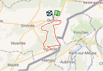

7,6 km | 10,5 km-effort


Gebruiker GUIDE


Gratisgps-wandelapplicatie
 SityTrail
IGN / Geografische instituten
SityTrail World
De wereld gaat voor u open
Tocht Te voet van 10,1 km beschikbaar op Wallonië, Namen, Doische. Deze tocht wordt voorgesteld door Desrumaux.
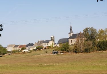
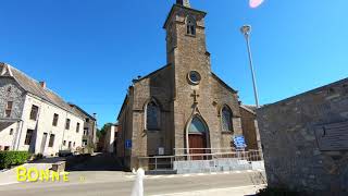
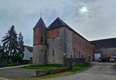
Doische est un village d'Entre-Sambre-et-Meuse situé en province de Namur.
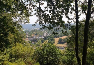
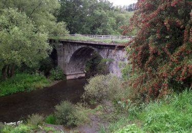
S’étendant à la fois sur les « tiennes » calcaires de la Calestienne et dans la dépression de la Fagne schisteuse, la commune de Doische offre une grande variété de paysages paisibles. L’entité de Doische regroupe dix villages qui ont conservé leur habitat traditionnel et leurs fermes imposantes.
Vaucelles village calcaire inclus jadis dans la baronnie de Hierges dont les ruines du château se dressent toujours au-delà de la frontière franco-belge.
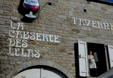
https://www.doische.be/loisirs/tourisme/office-du-tourisme


Stappen

Stappen
Stappen
Stappen
Te voet

Te voet

Te voet
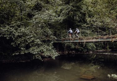
Mountainbike