


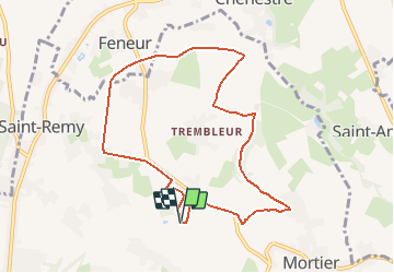


10,9 km | 12,6 km-effort

Gebruiker


Gratisgps-wandelapplicatie
 SityTrail
IGN / Geografische instituten
SityTrail World
De wereld gaat voor u open
Tocht Te voet van 8,2 km beschikbaar op Wallonië, Luik, Blegny. Deze tocht wordt voorgesteld door Blegny-LeReveil.
A la découverte de sentiers et chemins oubliés, les 17 et 18 octobre 2020.
Cette promenade vous permettra de découvrir quelques événements réels ou imaginaires de l"histoire de notre commune, en passant par quelques sentiers peu connus ou peu fréquentés.
la promenade est initiée par le mouvement citoyen "BE21 - des racines et demain" axé sur les différents aspects du développement durable.
N'hésitez pas à nous faire part de votre appréciation de la randonnée.


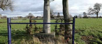
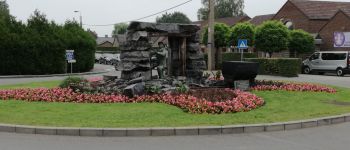
Stappen

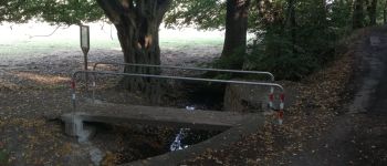
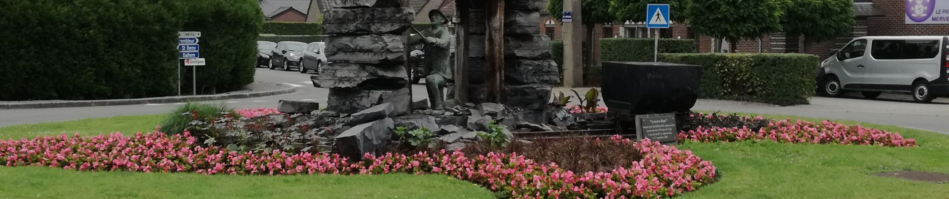
Stappen

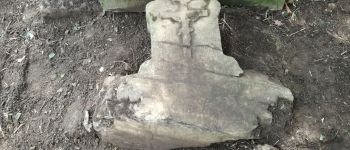
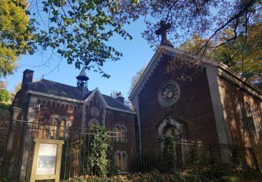
Stappen

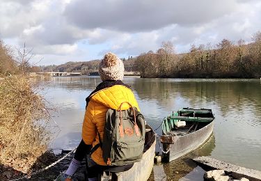
Stappen

Stappen
Stappen

Stappen

Stappen
Stappen