


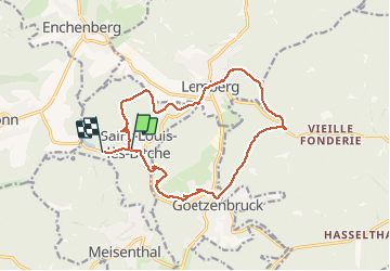

13,1 km | 17,5 km-effort

Gebruiker


Gratisgps-wandelapplicatie
 SityTrail
IGN / Geografische instituten
SityTrail World
De wereld gaat voor u open
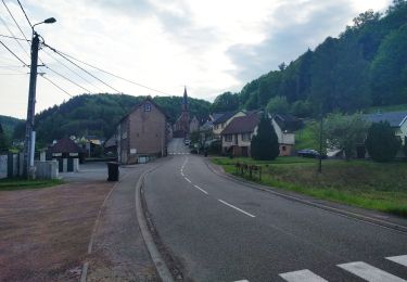
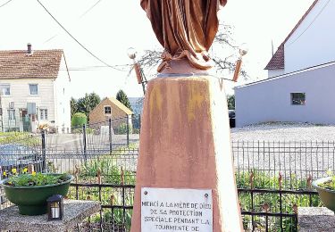
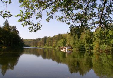
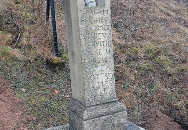
Tocht Stappen van 15,2 km beschikbaar op Grand Est, Moselle, Saint-Louis-lès-Bitche. Deze tocht wordt voorgesteld door mitch1915.


Stappen
Te voet
Te voet
Te voet

Te voet
Te voet
Te voet
Te voet
Te voet