Tocht Stappen General Villamil Playas - Puerto Engabao - Photo
 gildascb
gildascb

Gebruiker

© OpenStreetMap contributors
Lengte
Lengte
8,6 km
Max. hoogte
Max. hoogte
15 m
Positief hoogteverschil
27 m
Km-Effort
Km-Effort  
9 km
Min. hoogte
Min. hoogte
-1 m
Negatief hoogteverschil
27 m
Boucle
Boucle
Ja
Datum van aanmaak :
2020-10-24 17:13:01.571
Laatste wijziging :
2021-08-12 15:15:41.102

(0 Bericht)

Stappen
Stappen
2h40
Moeilijkheid : Heel gemakkelijk

Scan deze QR-code om de tocht te openen in de SityTrail-applicatie

Gratisgps-wandelapplicatie

Logo SityTrail SityTrail

IGN / Geografische instituten

SityTrail uit de App Store downloaden SityTrail uit Google Play downloaden

Logo SityTrail SityTrail World

De wereld gaat voor u open

SityTrail uit de App Store downloaden SityTrail uit Google Play downloaden SityTrail op Huawei AppGallery downloaden

Over ons

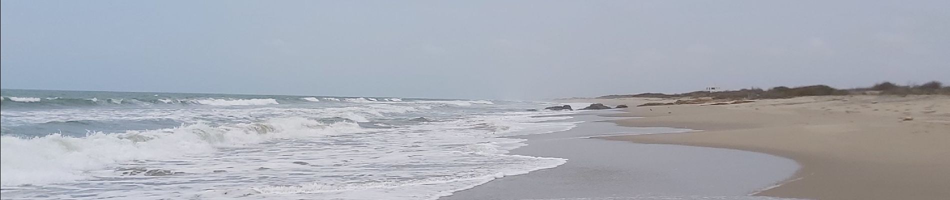
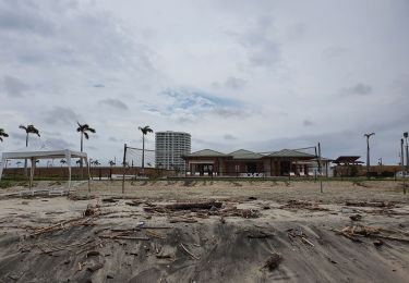
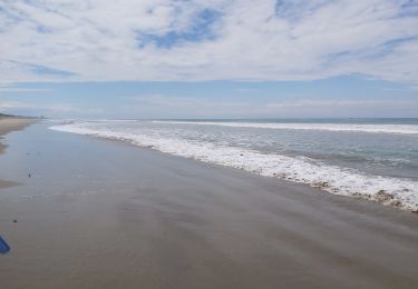
Tocht Stappen van 8,6 km beschikbaar op Guayas, Playas, General Villamil Playas. Deze tocht wordt voorgesteld door gildascb.

Hoogteprofiel

Foto's

Plaatsbepaling

Land:
Ecuador
Regio :
Guayas
Departement/Provincie :
Playas
Gemeente :
General Villamil Playas
Locatie:
Unknown
Vertrek:(UTM)
554264 ; 9717146 (17M) Z.

Wandeltochten in de omgeving

Tocht Stappen General Villamil Playas - Playa Engabao - Photo
Stappen
gildascb

Stappen

Heel gemakkelijk
General Villamil Playas, Guayas, Playas, Ecuador
9,2 km | 10,6 km-effort
2h 34min
Ja
Tocht Stappen General Villamil Playas - Engabao (entre Playa Paraiso y el faro de Puerto Engabao) - Photo
Stappen
gildascb

Stappen

Heel gemakkelijk
General Villamil Playas, Guayas, Playas, Ecuador
7 km | 7,7 km-effort
2h 22min
Ja


Sluiten
Mijn abonnementen