


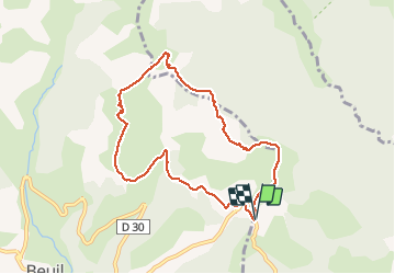

4,3 km | 6,6 km-effort


Gebruiker


Gratisgps-wandelapplicatie
 SityTrail
IGN / Geografische instituten
SityTrail World
De wereld gaat voor u open
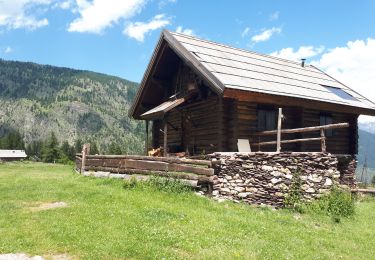
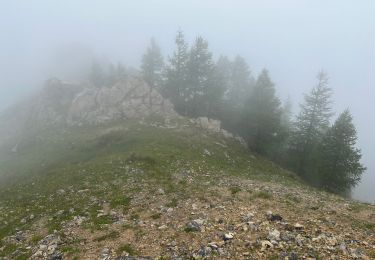
Tocht Sneeuwschoenen van 8,4 km beschikbaar op Provence-Alpes-Côte d'Azur, Alpes-Maritimes, Roubion. Deze tocht wordt voorgesteld door GrouGary.
Belle boucle, sans difficulté technique ou sportive. Très bien pour une remise en jambes. Vues splendides sur le Mt Mounier, les Aiguilles de Pelens, la Cime de Giarons...

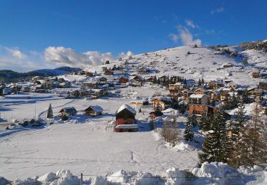
Sneeuwschoenen
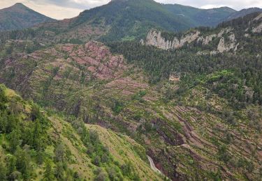
Te voet

Te voet

Sneeuwschoenen

Stappen
Stappen
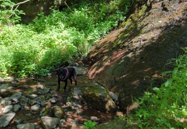
Stappen
Stappen
Stappen