


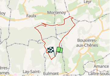

13,3 km | 17,8 km-effort


Gebruiker


Gratisgps-wandelapplicatie
 SityTrail
IGN / Geografische instituten
SityTrail World
De wereld gaat voor u open
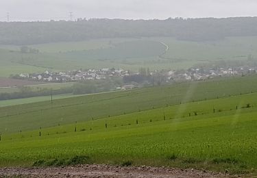
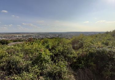
Tocht Noords wandelen van 12,5 km beschikbaar op Grand Est, Meurthe-et-Moselle, Eulmont. Deze tocht wordt voorgesteld door DanielROLLET.
2021 01 30 marche nordique - 5 personnes - Temps pluvieux - 9h55 à 11h25
Te voet

Te voet
Te voet
Te voet

Stappen
Stappen

Stappen
Stappen
Stappen