


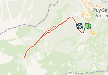

6 km | 10,4 km-effort

Gebruiker GUIDE


Gratisgps-wandelapplicatie
 SityTrail
IGN / Geografische instituten
SityTrail World
De wereld gaat voor u open
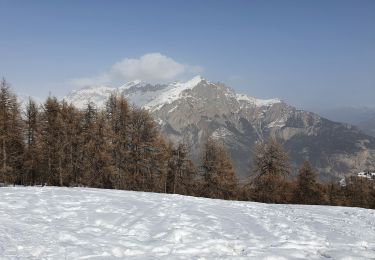
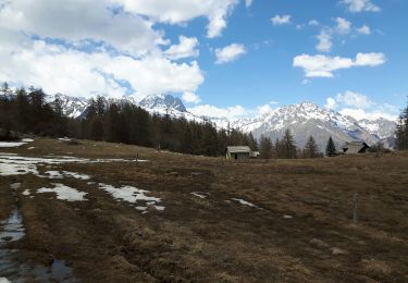
Tocht Sneeuwschoenen van 8,4 km beschikbaar op Provence-Alpes-Côte d'Azur, Hautes-Alpes, Puy-Saint-Vincent. Deze tocht wordt voorgesteld door amiral13.


Stappen

Stappen

Te voet
Te voet
Te voet
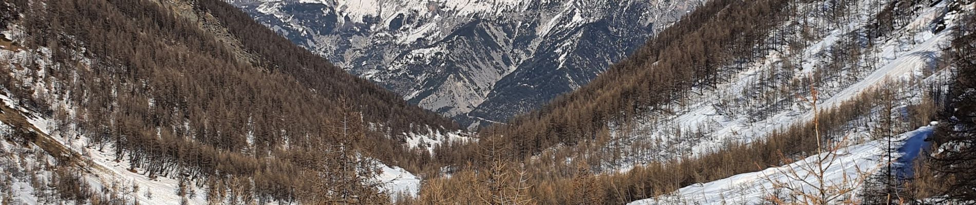
Sneeuwschoenen

Stappen

Stappen
Stappen