


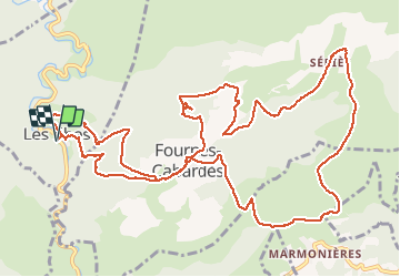

16,1 km | 25 km-effort

Gebruiker GUIDE


Gratisgps-wandelapplicatie
 SityTrail
IGN / Geografische instituten
SityTrail World
De wereld gaat voor u open
Tocht Stappen van 17,3 km beschikbaar op Occitanië, Aude, Les Ilhes. Deze tocht wordt voorgesteld door Ada11.
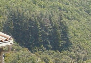
Belle rando, relativement ombragée.


Stappen

Stappen

Stappen
Te voet

Te voet
Stappen

Stappen

Stappen

Stappen