


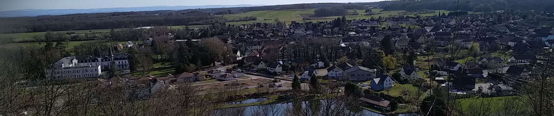
Sentheim Rammersmatt Bourbach/Bas

helmut68
Gebruiker


4h40
Moeilijkheid : Medium

Gratisgps-wandelapplicatie
 SityTrail
IGN / Geografische instituten
SityTrail Plus
De wereld gaat voor u open
Over ons
Tocht Stappen van 20 km beschikbaar op Grand Est, Haut-Rhin, Sentheim. Deze tocht wordt voorgesteld door helmut68.
Beschrijving
Belle boucle printanière au départ et arrivée : place de jeu de Sentheim.Apres avoir traversé la Doller ( pont des vignes ), suivez le balisage " rectangle rouge blanc rouge" direction col du Schirm . Quelques centaines de mètres avant prenez la direction Thann , balisage " triangle jaune" jusqu'à la tombe du soldat inconnu. Là reprenez le balisage " rectangle rouge blanc rouge " jusqu'à Bourbach le Bas ,puis pour finir le balisage " triangle rouge" jusqu'à Sentheim.
Point d'intérêt : sentier de découverte Rammersmatt- Bourbach le Bas .
Foto's


36 fotos in totaal. Klik op een foto om ze allemaal in de galerij weer te geven.
Plaatsbepaling
Opmerkingen