


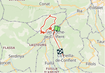

13,5 km | 17,2 km-effort


Gebruiker


Gratisgps-wandelapplicatie
 SityTrail
IGN / Geografische instituten
SityTrail World
De wereld gaat voor u open
Tocht Stappen van 14 km beschikbaar op Occitanië, Pyrénées-Orientales, Villefranche-de-Conflent. Deze tocht wordt voorgesteld door PVERTICAL.
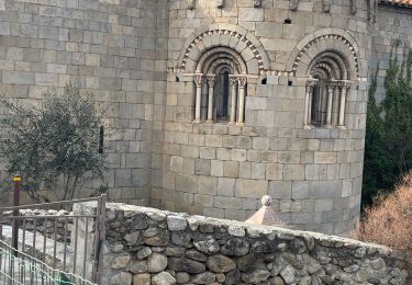
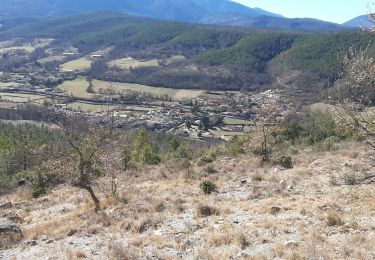
depuis le village fortifié de Villefranche de Conflent via le Fort Liberia, magnifique boucle en balcon au dessus de la rivière Têt. superbe vue sur Canigou et la côte. Attention, pas de point d'eau sur le sentier.


Stappen

Motor

Stappen

Stappen

Mountainbike
Stappen
Stappen
Stappen
Stappen