


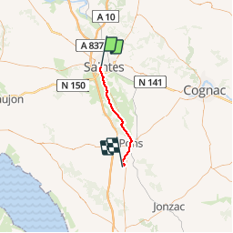


7,8 km | 8,8 km-effort

Gebruiker


Gratisgps-wandelapplicatie
 SityTrail
IGN / Geografische instituten
SityTrail World
De wereld gaat voor u open
Tocht Stappen van 30 km beschikbaar op Nieuw-Aquitanië, Charente-Maritime, Saintes. Deze tocht wordt voorgesteld door jeff2.
Saintes à Pradelle


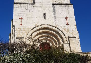
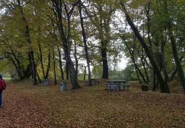
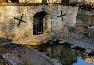
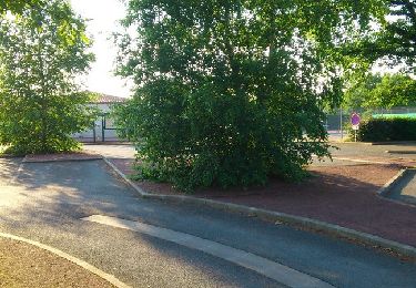
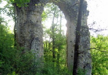
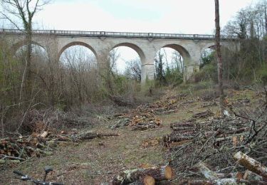
21 fotos in totaal. Klik op een foto om ze allemaal in de galerij weer te geven.

Stappen
Stappen
Stappen
Stappen
Stappen
Stappen
Mountainbike
Mountainbike
Mountainbike