


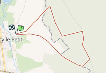

12,9 km | 15,3 km-effort

Gebruiker


Gratisgps-wandelapplicatie
 SityTrail
IGN / Geografische instituten
SityTrail World
De wereld gaat voor u open
Tocht Stappen van 4,5 km beschikbaar op Normandië, Seine-Maritime, Torcy-le-Petit. Deze tocht wordt voorgesteld door crocheval.
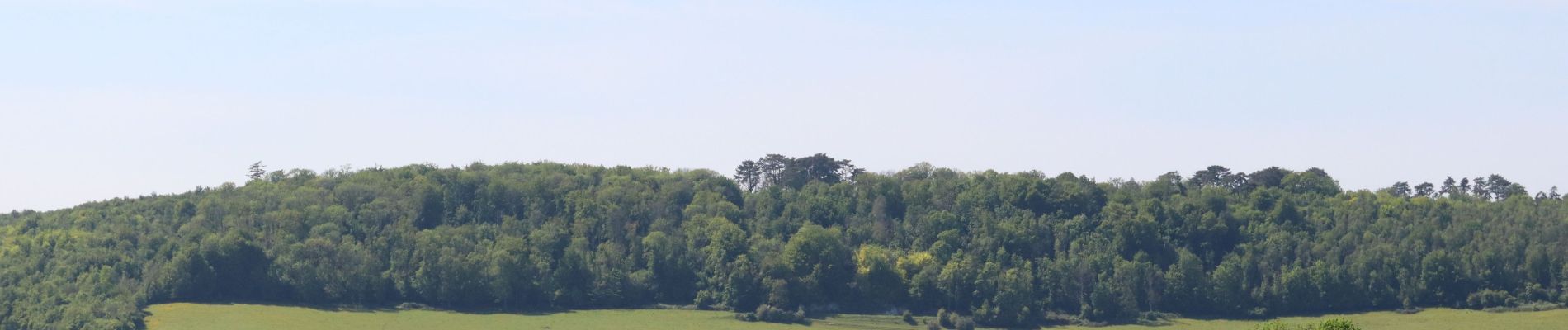
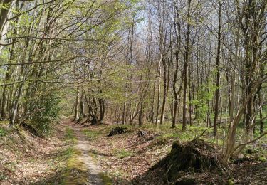
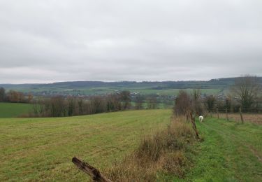
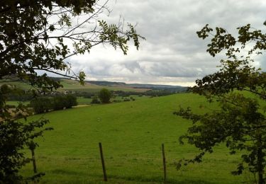
Super balade, bien ombragé. Incursion dans la forêt domaniale, pour mieux découvrir la vallée de la varenne, ainsi que Torcy par une vue extraordinaire des étangs et des alentours.


Stappen
Stappen

Mountainbike

Stappen
Stappen
Stappen
Stappen
Fietstoerisme
Stappen