


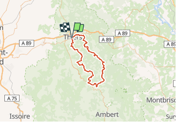


11,4 km | 18,3 km-effort


Gebruiker


Gratisgps-wandelapplicatie
 SityTrail
IGN / Geografische instituten
SityTrail World
De wereld gaat voor u open
Tocht Stappen van 94 km beschikbaar op Auvergne-Rhône-Alpes, Puy-de-Dôme, Thiers. Deze tocht wordt voorgesteld door arleol63.
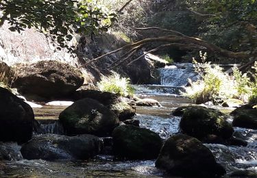
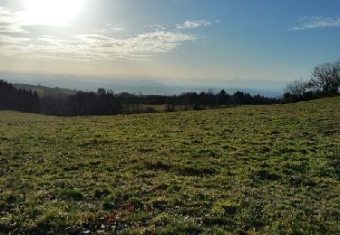
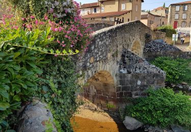
Ballade agréable dans le Forez. Il faut aimer la nature, les forets et les montagnes à vache.
Stappen
Stappen
Stappen

Te voet
Te voet
Te voet
Te voet
Te voet

Stappen