


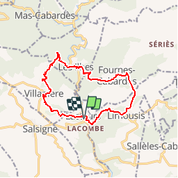

16,1 km | 25 km-effort


Gebruiker


Gratisgps-wandelapplicatie
 SityTrail
IGN / Geografische instituten
SityTrail World
De wereld gaat voor u open
Tocht Stappen van 14 km beschikbaar op Occitanië, Aude, Lastours. Deze tocht wordt voorgesteld door Pierre11.
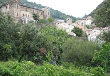
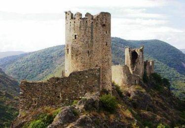
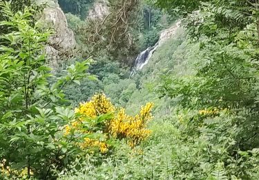
De Lastours vers quelques villages du Cabardès autour de la vallée de l'Orbiel. superbe point de vue des 4 châteaux en fin de parcours.
Stappen

Te voet

Stappen
Stappen

Stappen

Stappen
Stappen