


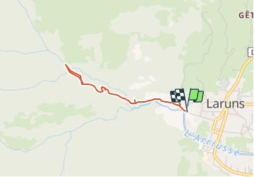

6 km | 9,9 km-effort


Gebruiker


Gratisgps-wandelapplicatie
 SityTrail
IGN / Geografische instituten
SityTrail World
De wereld gaat voor u open
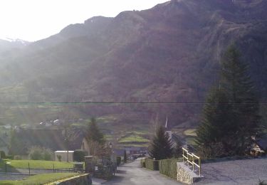
Tocht Stappen van 3,2 km beschikbaar op Nieuw-Aquitanië, Pyrénées-Atlantiques, Laruns. Deze tocht wordt voorgesteld door rogerpoirier.
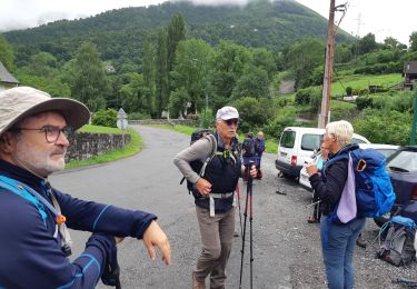
Chemin ombragé, montée soutenue, mais souvent des pavés humides, attention à la descente. Mais la beauté de cette cascade de 35 mètres. Ne pas oublier, après la cascade d'accéder au promontoire, à quelques minutes, d'où l'on a une vue totale de la cascade et de sa vasque.

Stappen

Stappen
Stappen

Te voet
Te voet
Te voet
Te voet
Te voet
Te voet