


21 km | 23 km-effort


Gebruiker


Gratisgps-wandelapplicatie
 SityTrail
IGN / Geografische instituten
SityTrail World
De wereld gaat voor u open
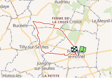
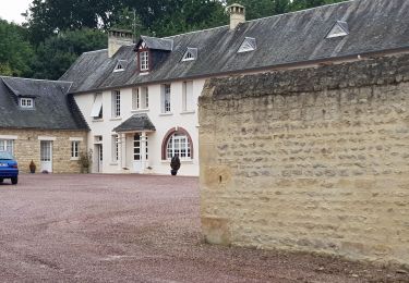
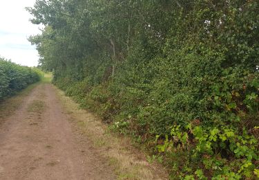
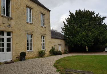
Tocht Geocaching van 12,3 km beschikbaar op Normandië, Calvados, Fontenay-le-Pesnel. Deze tocht wordt voorgesteld door yannick-p.
Trail

Paard
Mountainbike

Stappen
Stappen

Trail
Stappen
Trail
Stappen