


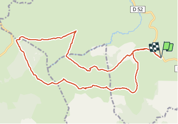

20 km | 26 km-effort


Gebruiker


Gratisgps-wandelapplicatie
 SityTrail
IGN / Geografische instituten
SityTrail World
De wereld gaat voor u open
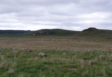
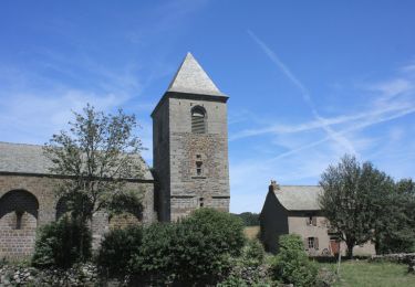
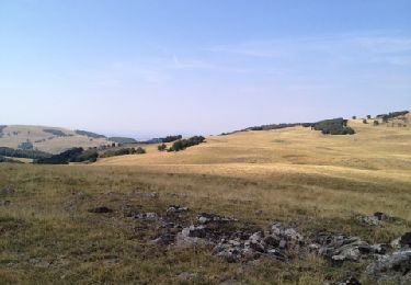
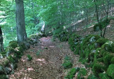
Tocht Stappen van 12,8 km beschikbaar op Occitanië, Lozère, Les Salces. Deze tocht wordt voorgesteld door moufouette.
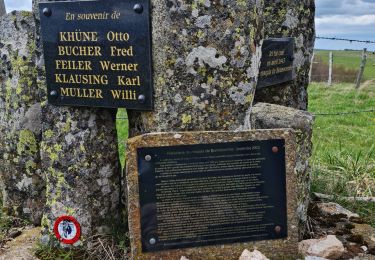
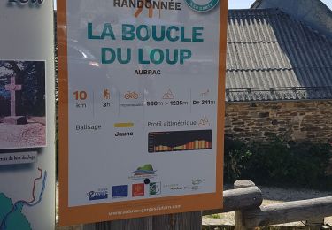
Sur l'Aubrac
Stappen
Stappen
Stappen
Stappen
Stappen
Stappen
Stappen
Stappen
Paard