


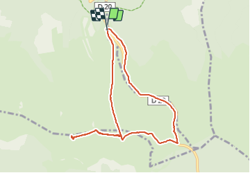

22 km | 32 km-effort

Gebruiker


Gratisgps-wandelapplicatie
 SityTrail
IGN / Geografische instituten
SityTrail World
De wereld gaat voor u open
Tocht Stappen van 9 km beschikbaar op Occitanië, Lozère, Mont Lozère et Goulet. Deze tocht wordt voorgesteld door richardsimopons.
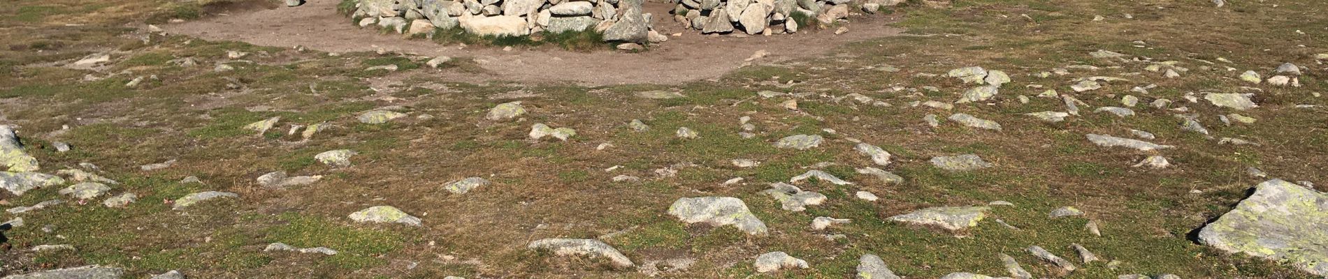
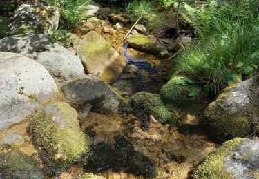
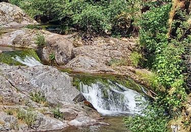
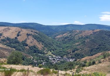
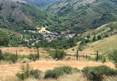
Du parking des chômeurs jusqu’au sommet (1699m), retour par le col(G7): agréable parcours.


Stappen

Stappen
Stappen
Stappen

Stappen
Stappen

Elektrische fiets
Stappen
Stappen