


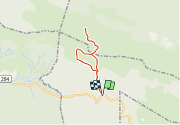


13,7 km | 27 km-effort


Gebruiker


Gratisgps-wandelapplicatie
 SityTrail
IGN / Geografische instituten
SityTrail World
De wereld gaat voor u open
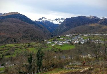
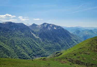
Tocht Stappen van 5,8 km beschikbaar op Nieuw-Aquitanië, Pyrénées-Atlantiques, Bilhères. Deze tocht wordt voorgesteld door mitch1952.
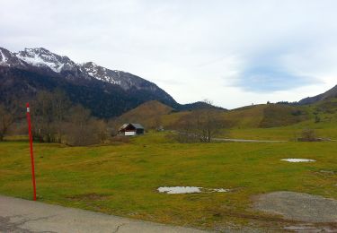
A steady climb for the first kilometer, and it's necessary to take it easy in the begining until the muscles warm up.
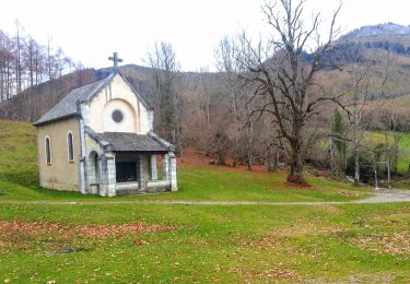
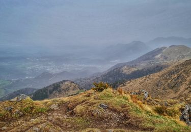
Beautiful scenery with some fantastic views overlooking the plateau de Benou and Oloron Saint Marie. It can get quite windy and cloudy once you reach the summit.
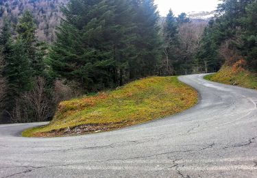
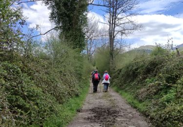
The climb down is quite steep and the path is stony so you need to be careful.
A short but sportive hike.

Stappen
Te voet
Te voet
Te voet
Te voet
Te voet
Stappen
Stappen
Stappen