


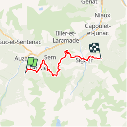


5,8 km | 10,3 km-effort


Gebruiker


Gratisgps-wandelapplicatie
 SityTrail
IGN / Geografische instituten
SityTrail World
De wereld gaat voor u open
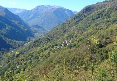
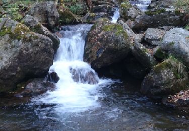
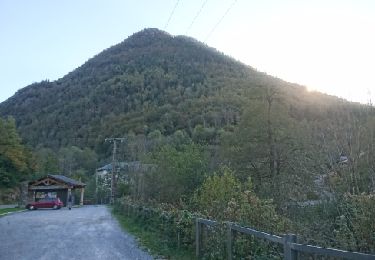
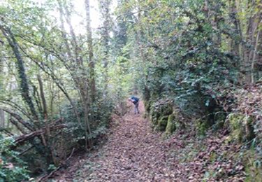
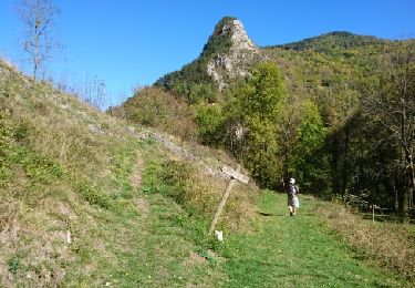
Tocht Stappen van 16,5 km beschikbaar op Occitanië, Ariège, Val-de-Sos. Deze tocht wordt voorgesteld door loic09.
Stèle GR10/Col de Gamel
Te voet
Te voet
Stappen
Stappen
Stappen

Stappen
Stappen
Stappen
Stappen