


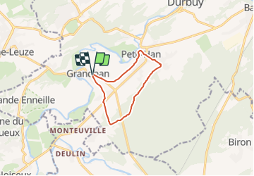


39 km | 45 km-effort

Tous les sentiers balisés d’Europe PRO


Gratisgps-wandelapplicatie
 SityTrail
IGN / Geografische instituten
SityTrail World
De wereld gaat voor u open
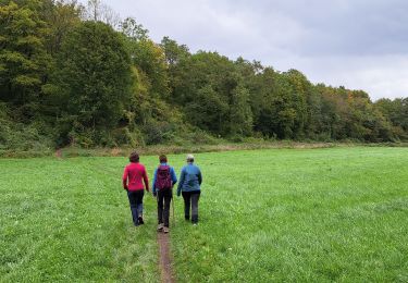
Tocht Te voet van 8 km beschikbaar op Wallonië, Luxemburg, Durbuy. Deze tocht wordt voorgesteld door SityTrail - itinéraires balisés pédestres.
Trail created by Office communal du Tourisme Durbuy.
Symbol: green cross
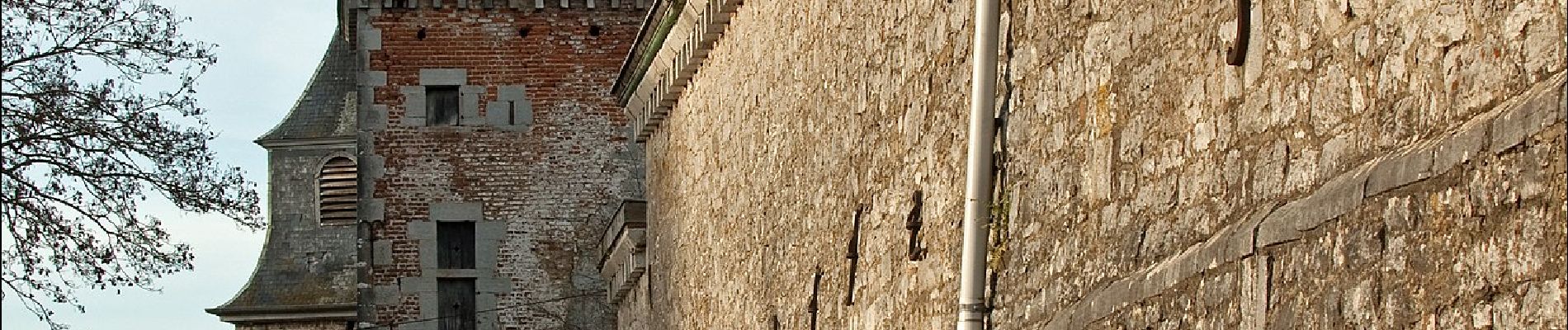
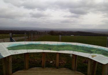
 - Photo 1")
Fiets
Stappen
Stappen
Stappen
Stappen
Stappen

Stappen
Te voet
Stappen