


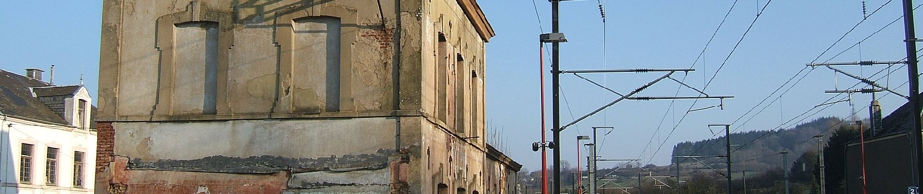
Le Sentier de la Batte

SityTrail - itinéraires balisés pédestres
Tous les sentiers balisés d’Europe GUIDE+


Lengte
6,9 km

Max. hoogte
295 m

Positief hoogteverschil
79 m
Km-Effort
8 km

Min. hoogte
248 m

Negatief hoogteverschil
78 m
Boucle
Ja

Markering
Datum van aanmaak :
2022-02-09 19:19:25.024
Laatste wijziging :
2022-02-09 19:19:25.024
1h48
Moeilijkheid : Gemakkelijk

Gratisgps-wandelapplicatie
 SityTrail
IGN / Geografische instituten
SityTrail Plus
De wereld gaat voor u open
Over ons
Tocht Te voet van 6,9 km beschikbaar op Wallonië, Luxemburg, Aubange. Deze tocht wordt voorgesteld door SityTrail - itinéraires balisés pédestres.
Beschrijving
Trail created by SI Aubange 32 63 38 86 54.
Website: http://www.visitaubange.be
Foto's


Plaatsbepaling
Land:
Belgium
Regio :
Wallonië
Departement/Provincie :
Luxemburg
Gemeente :
Aubange
Locatie:
Unknown
Vertrek:(Dec)
Vertrek:(UTM)
697689 ; 5494102 (31U) N.
Opmerkingen