


14.7 km | 19.5 km-effort

Tous les sentiers balisés d’Europe PRO


FREE GPS app for hiking
 SityTrail
IGN / Geographical institutes
SityTrail World
The world is yours!
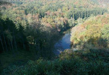
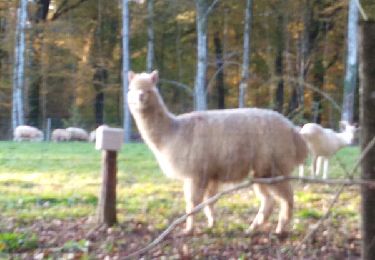
Trail On foot of 6.9 km to be discovered at Wallonia, Luxembourg, Aubange. This trail is proposed by SityTrail - itinéraires balisés pédestres.
Trail created by SI Aubange 32 63 38 86 54.
Website: http://www.visitaubange.be


Walking

Walking
Walking
Mountain bike
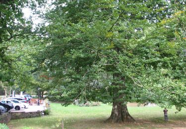

On foot

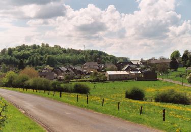
On foot
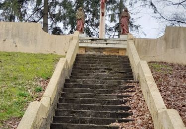
Walking