


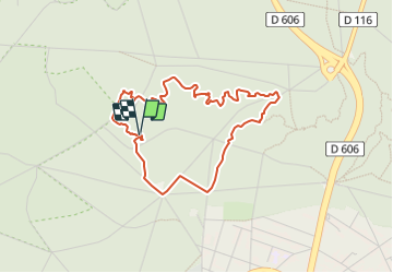

18 km | 22 km-effort

Tous les sentiers balisés d’Europe PRO


Gratisgps-wandelapplicatie
 SityTrail
IGN / Geografische instituten
SityTrail World
De wereld gaat voor u open
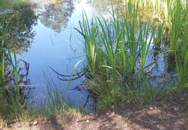
Tocht Te voet van 3,8 km beschikbaar op Île-de-France, Seine-et-Marne, Fontainebleau. Deze tocht wordt voorgesteld door SityTrail - itinéraires balisés pédestres.
Trail created by Association des Amis de la Forêt de Fontainebleau.
Symbol: bar


Stappen
Te voet
Stappen

Stappen
Stappen

Stappen

Te voet

Stappen

Te voet