


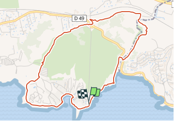

21 km | 24 km-effort

Tous les sentiers balisés d’Europe PRO


Gratisgps-wandelapplicatie
 SityTrail
IGN / Geografische instituten
SityTrail World
De wereld gaat voor u open
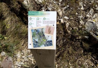
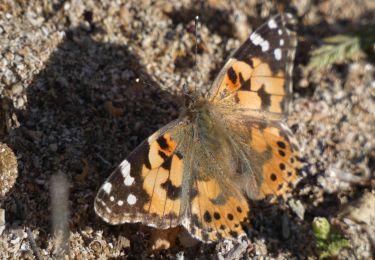
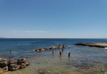
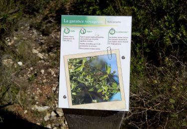
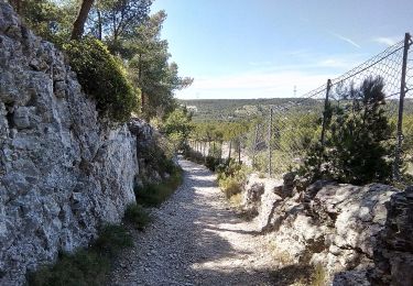
Tocht Te voet van 5,8 km beschikbaar op Provence-Alpes-Côte d'Azur, Bouches-du-Rhône, Martigues. Deze tocht wordt voorgesteld door SityTrail - itinéraires balisés pédestres.
Préparez votre séjour dans les Bouches-du Rhône. My Provence a sélectionné pour vous le meilleur de l'offre touristique du département.
Website: https://www.myprovence.fr/circuits/randonnees/martigues/149438-boucle-de-boumandariel


Stappen
Stappen
Te voet
Te voet
Te voet

Te voet
Te voet
Te voet
Te voet