


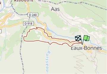


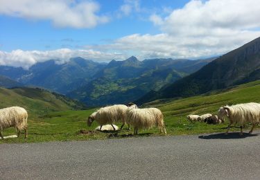
6 km | 9,9 km-effort

Tous les sentiers balisés d’Europe PRO


Gratisgps-wandelapplicatie
 SityTrail
IGN / Geografische instituten
SityTrail World
De wereld gaat voor u open
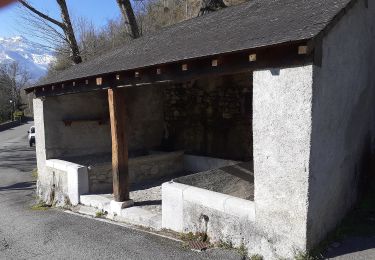
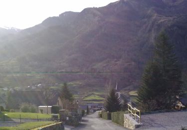
Tocht Te voet van 3,5 km beschikbaar op Nieuw-Aquitanië, Pyrénées-Atlantiques, Eaux-Bonnes. Deze tocht wordt voorgesteld door SityTrail - itinéraires balisés pédestres.
Trail created by Communauté de Communes de la Vallée d'Ossau.
Symbol: Trait jaune
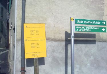
Website: https://www.valleedossau-tourisme.com/randonnees/pedestre/circuits-a-la-journee/

Stappen

Stappen
Stappen

Te voet
Te voet
Te voet
Te voet
Te voet
Te voet