


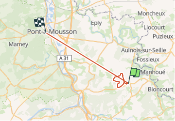


12,1 km | 15,5 km-effort

Gebruiker


Gratisgps-wandelapplicatie
 SityTrail
IGN / Geografische instituten
SityTrail World
De wereld gaat voor u open
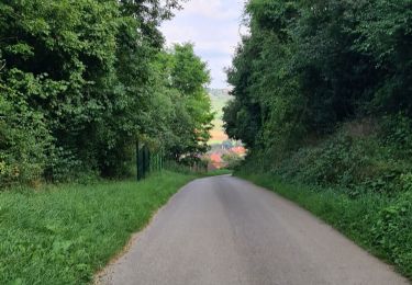
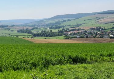
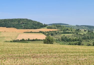
Tocht Stappen van 32 km beschikbaar op Grand Est, Meurthe-et-Moselle, Leyr. Deze tocht wordt voorgesteld door jean-marie.parachini.


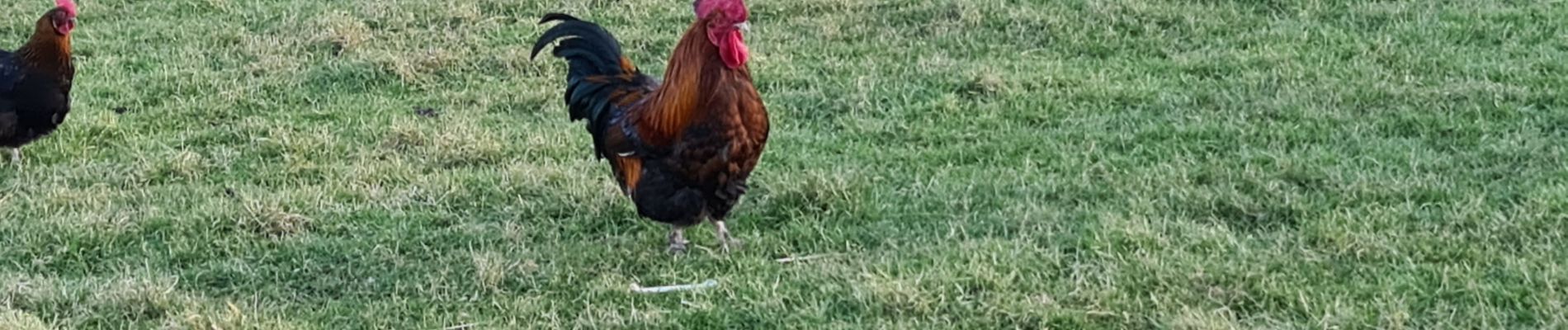
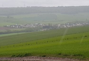
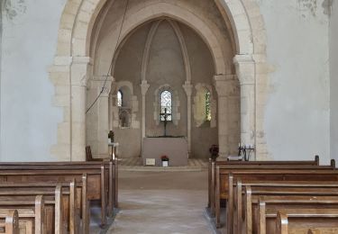
24 fotos in totaal. Klik op een foto om ze allemaal in de galerij weer te geven.

Stappen
Stappen

Stappen
Stappen
Stappen

Te voet
Stappen
Stappen
Stappen