


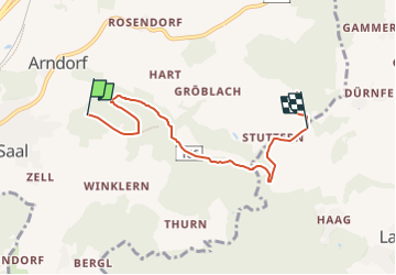

4,4 km | 6,5 km-effort

Tous les sentiers balisés d’Europe PRO


Gratisgps-wandelapplicatie
 SityTrail
IGN / Geografische instituten
SityTrail World
De wereld gaat voor u open
Tocht Te voet van 5,8 km beschikbaar op Karinthië, Bezirk Klagenfurt-Land, Maria Saal. Deze tocht wordt voorgesteld door SityTrail - itinéraires balisés pédestres.
Trail created by ÖAV – Sektion Klagenfurt.
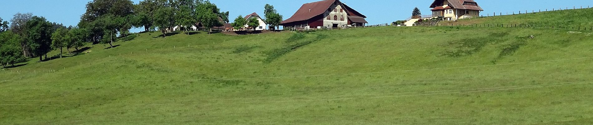
Es ist eine sehr leichte Wanderung! An geeigneten Plätzen werden T'ai Chi-Vorübungen gemacht!


Te voet