Tocht Stappen Gentioux-Pigerolles - Circuit au Nord Est de Gentioux-Pigerolles - Photo

Circuit au Nord Est de Gentioux-Pigerolles

 tracegps
tracegps

Gebruiker

© OpenStreetMap contributors
Lengte
Lengte
17 km
Max. hoogte
Max. hoogte
855 m
Positief hoogteverschil
373 m
Km-Effort
Km-Effort  
22 km
Min. hoogte
Min. hoogte
711 m
Negatief hoogteverschil
366 m
Boucle
Boucle
Ja
Datum van aanmaak :
2014-12-10 00:00:00.0
Laatste wijziging :
2014-12-10 00:00:00.0

(0 Bericht)

Stappen
Stappen
6h00
Moeilijkheid : Medium

Scan deze QR-code om de tocht te openen in de SityTrail-applicatie

Gratisgps-wandelapplicatie

Logo SityTrail SityTrail

IGN / Geografische instituten

SityTrail uit de App Store downloaden SityTrail uit Google Play downloaden

Logo SityTrail SityTrail World

De wereld gaat voor u open

SityTrail uit de App Store downloaden SityTrail uit Google Play downloaden SityTrail op Huawei AppGallery downloaden

Over ons

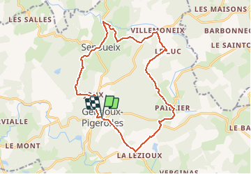
Tocht Stappen van 17 km beschikbaar op Nieuw-Aquitanië, Creuse, Gentioux-Pigerolles. Deze tocht wordt voorgesteld door tracegps.

Beschrijving

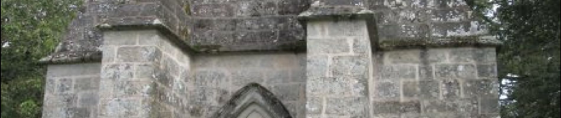
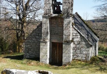
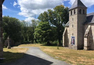
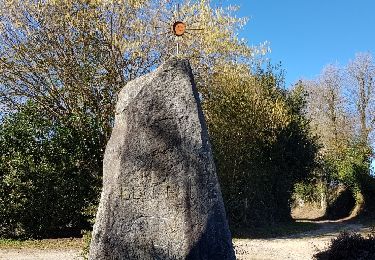
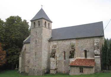
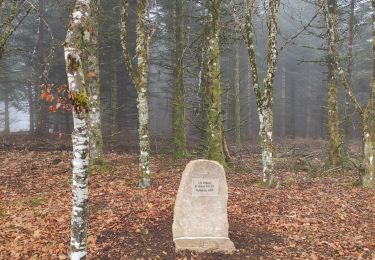
Partant du célèbre Monument aux Morts de Gentioux, le circuit se dirige vers le nord, à travers la forêt pour rejoindre le village de Senoueix et son pont atypique. On rejoint les hameaux de Villemoneix, le Luc puis Paillier avec son église templière. La boucle se termine par le passage via Lalézioux avant de revenir sur Gentioux. Circuit sans grande difficulté et avec un faible dénivelé pour la région.

Hoogteprofiel

Foto's

Plaatsbepaling

Land:
France
Regio :
Nieuw-Aquitanië
Departement/Provincie :
Creuse
Gemeente :
Gentioux-Pigerolles
Locatie:
Unknown
Vertrek:(Dec)
Vertrek:(UTM)
421920 ; 5070608 (31T) N.

Wandeltochten in de omgeving

Tocht Stappen Peyrelevade - Fred Chappelle du Rat - Photo
Stappen
arnoultjf

Stappen

Gemakkelijk
Peyrelevade, Nieuw-Aquitanië, Corrèze, France
3 km | 4,2 km-effort
47min
Ja
Tocht Stappen Gentioux-Pigerolles - Gentilhomme pigerolles  - Photo
Stappen
Alainschost

Stappen

Gentioux-Pigerolles, Nieuw-Aquitanië, Creuse, France
12,8 km | 17,2 km-effort
4h 1min
Ja
Tocht Stappen Faux-la-Montagne - faux et le lac - Photo
Stappen
viam19

Stappen

Medium
Faux-la-Montagne, Nieuw-Aquitanië, Creuse, France
15,2 km | 19 km-effort
4h 6min
Ja
Tocht Mountainbike Gentioux-Pigerolles - Circuit au Nord Est de Gentioux-Pigerolles - Photo
Mountainbike
tracegps

Mountainbike

Medium
Gentioux-Pigerolles, Nieuw-Aquitanië, Creuse, France
17 km | 22 km-effort
2h 0min
Ja
Tocht Stappen Faux-la-Montagne - Faux la montagne - Le Chammet  - Photo
Stappen
Gegetop

Stappen

Medium
Faux-la-Montagne, Nieuw-Aquitanië, Creuse, France
15,8 km | 19,6 km-effort
4h 8min
Ja
Tocht Stappen La Nouaille - la boucle du Puy Riau - Photo
Stappen
marcagif

Stappen

Gemakkelijk
La Nouaille, Nieuw-Aquitanië, Creuse, France
5,1 km | 6,7 km-effort
1h 20min
Ja
Tocht Stappen Faux-la-Montagne - tour du lac de Faux - Photo
Stappen
martinjacque

Stappen

Heel gemakkelijk
Faux-la-Montagne, Nieuw-Aquitanië, Creuse, France
4,1 km | 4,8 km-effort
1h 27min
Ja
Tocht Stappen Faux-la-Montagne - Faux-la-Montagne lac de Faux 8km - Photo
Stappen
YV24

Stappen

Gemakkelijk
Faux-la-Montagne, Nieuw-Aquitanië, Creuse, France
7,7 km | 9,2 km-effort
2h 11min
Ja
Tocht Stappen Faux-la-Montagne - Faux-la-Montagne à Saint-Sètiers / Etape 4 - Photo
Stappen
aucamus

Stappen

Zeer moeilijk
Faux-la-Montagne, Nieuw-Aquitanië, Creuse, France
29 km | 37 km-effort
8h 24min
Neen


Sluiten
Mijn abonnementen