Tocht Stappen Bitche - Randonnée facile autour de Bitche par le col de Schimberg - Photo

Randonnée facile autour de Bitche par le col de Schimberg

 tracegps
tracegps

Gebruiker

© OpenStreetMap contributors
Lengte
Lengte
13,6 km
Max. hoogte
Max. hoogte
411 m
Positief hoogteverschil
260 m
Km-Effort
Km-Effort  
17,1 km
Min. hoogte
Min. hoogte
280 m
Negatief hoogteverschil
261 m
Boucle
Boucle
Ja
Datum van aanmaak :
2014-12-10 00:00:00.0
Laatste wijziging :
2014-12-10 00:00:00.0

(0 Bericht)

Stappen
Stappen
3h30
Moeilijkheid : Medium

Scan deze QR-code om de tocht te openen in de SityTrail-applicatie

Gratisgps-wandelapplicatie

Logo SityTrail SityTrail

IGN / Geografische instituten

SityTrail uit de App Store downloaden SityTrail uit Google Play downloaden

Logo SityTrail SityTrail World

De wereld gaat voor u open

SityTrail uit de App Store downloaden SityTrail uit Google Play downloaden SityTrail op Huawei AppGallery downloaden

Over ons

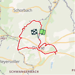
Tocht Stappen van 13,6 km beschikbaar op Grand Est, Moselle, Bitche. Deze tocht wordt voorgesteld door tracegps.

Beschrijving

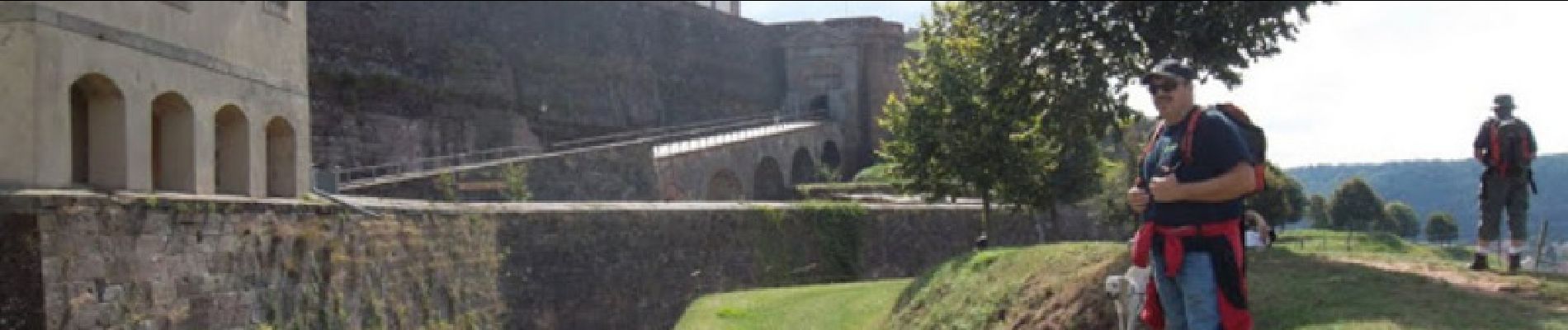
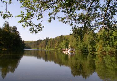
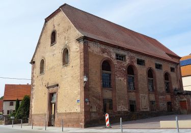
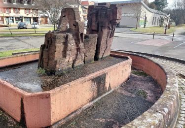
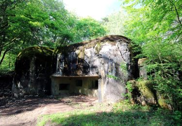
Départ à la chapelle Saint Sébastien, et suite sur circuit panoramique de Bitche. Au col de Schimberg revenir vers Bitche et continuer vers le stand de tir. Retour aux voitures par le golf et la citadelle.

Hoogteprofiel

Foto's

Plaatsbepaling

Land:
France
Regio :
Grand Est
Departement/Provincie :
Moselle
Gemeente :
Bitche
Locatie:
Unknown
Vertrek:(Dec)
Vertrek:(UTM)
384981 ; 5435108 (32U) N.

Wandeltochten in de omgeving

Tocht Stappen Bitche - Etang de Hasselfurth et Hochkopf - Bitche - Photo
Stappen
tracegps

Stappen

Medium
(1)
Bitche, Grand Est, Moselle, France
7,8 km | 10,1 km-effort
2h 0min
Ja
Tocht Stappen Bitche - Circuit panoramique de Bitche - Photo
Stappen
tracegps

Stappen

Medium
(2)
Bitche, Grand Est, Moselle, France
12,7 km | 16,7 km-effort
3h 25min
Ja
Tocht Te voet Hanviller - Chevalet jaune - Photo
Te voet
PRO

Te voet

Gemakkelijk
Hanviller, Grand Est, Moselle, France
6,3 km | 7,1 km-effort
1h 37min
Neen
Tocht Te voet Schorbach - Anneau bleu - Photo
Te voet
PRO

Te voet

Gemakkelijk
Schorbach, Grand Est, Moselle, France
14,6 km | 18,7 km-effort
4h 15min
Ja
Tocht Te voet Bitche - Yellow triangle - Photo
Te voet
PRO

Te voet

Gemakkelijk
Bitche, Grand Est, Moselle, France
8,4 km | 10,7 km-effort
2h 26min
Neen
Tocht Te voet Bitche - Blue dot - Photo
Te voet
PRO

Te voet

Gemakkelijk
Bitche, Grand Est, Moselle, France
10,7 km | 13,8 km-effort
3h 8min
Neen
Tocht Te voet Bitche - Yellow-white-yellow rectangle - Photo
Te voet
PRO

Te voet

Moeilijk
Bitche, Grand Est, Moselle, France
26 km | 35 km-effort
7h 58min
Neen
Tocht Te voet Bitche - Yellow X - Photo
Te voet
PRO

Te voet

Gemakkelijk
Bitche, Grand Est, Moselle, France
12,1 km | 18,2 km-effort
4h 7min
Neen
Tocht Te voet Schorbach - Circuit panoramique autour de Bitche - Photo
Te voet
PRO

Te voet

Gemakkelijk
(1)
Schorbach, Grand Est, Moselle, France
13,1 km | 17,2 km-effort
3h 54min
Ja


Sluiten
Mijn abonnementen