


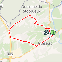

7,4 km | 9,9 km-effort


Destination Condroz-Famenne- une nature préservée PRO


Gratisgps-wandelapplicatie
 SityTrail
IGN / Geografische instituten
SityTrail World
De wereld gaat voor u open
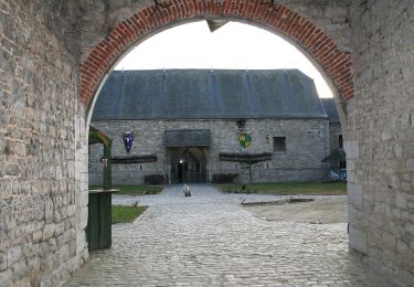
Tocht Stappen van 6,1 km beschikbaar op Wallonië, Namen, Somme-Leuze. Deze tocht wordt voorgesteld door Vallées des Saveurs - Maison du Tourisme Condroz-Famenne.
Stappen
Stappen

Stappen

Stappen

Stappen
Stappen

Te voet
Te voet
Te voet
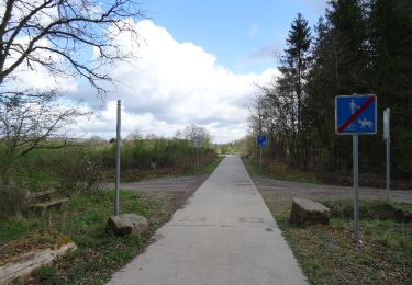
Longue partie le long d'une Nationale et puis le long d'une route sur laquelle les voitures roulent manifestement vite... Pas très sympa sur une moitié du parcours
premier essai très bien jusqu'ici
Très moche vraiment